|
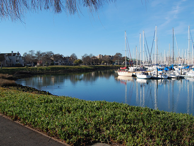
 This short parkway strip extends along the waterfront just off Marina
Village Parkway in Alameda, opposite the mouth of the Lake Merritt
Channel. A section of the Bay Trail
runs
along the water and offers great views of the estuary, opposite shore,
and downtown Oakland. Linked by a Bay Trail segment, nearby to the east
is a small waterfront greenway in front of Wind River Systems. This short parkway strip extends along the waterfront just off Marina
Village Parkway in Alameda, opposite the mouth of the Lake Merritt
Channel. A section of the Bay Trail
runs
along the water and offers great views of the estuary, opposite shore,
and downtown Oakland. Linked by a Bay Trail segment, nearby to the east
is a small waterfront greenway in front of Wind River Systems.
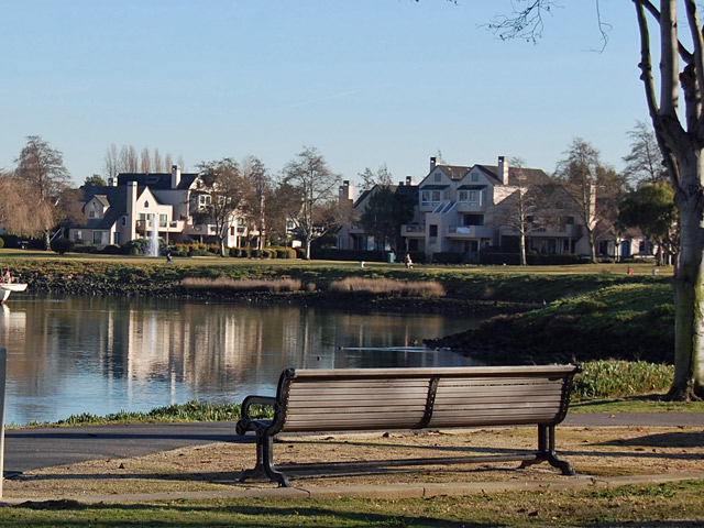
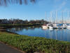
The park is located on the Estuary and may be
accessed from the Marina Village Plaza or the Pacific Marina:
This quiet and somewhat hidden park offers engaging opportunities
including:
-
appealing views of the marina and estuary;
-
expansive lawns;
-
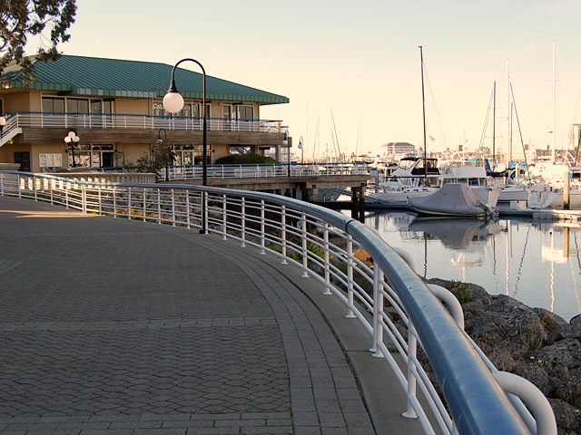
pedestrian
and bike paths which are part of the
Bay
Trail.
-
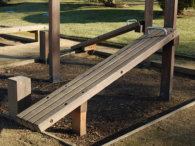
a par course; and
-
nearby parking and commercial establishments;
Park Features
and Views

Click thumbnails for larger view:
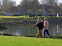
  Expansive
lawns, paths, and broad views of the marina and Oakland skyline. Expansive
lawns, paths, and broad views of the marina and Oakland skyline.
 A A par course.
A broad waterfront promenade in front
of the Marina Village Plaza.
top^
|